Full Third Year Project – Soil Erosion at Te Roto o Wairewa
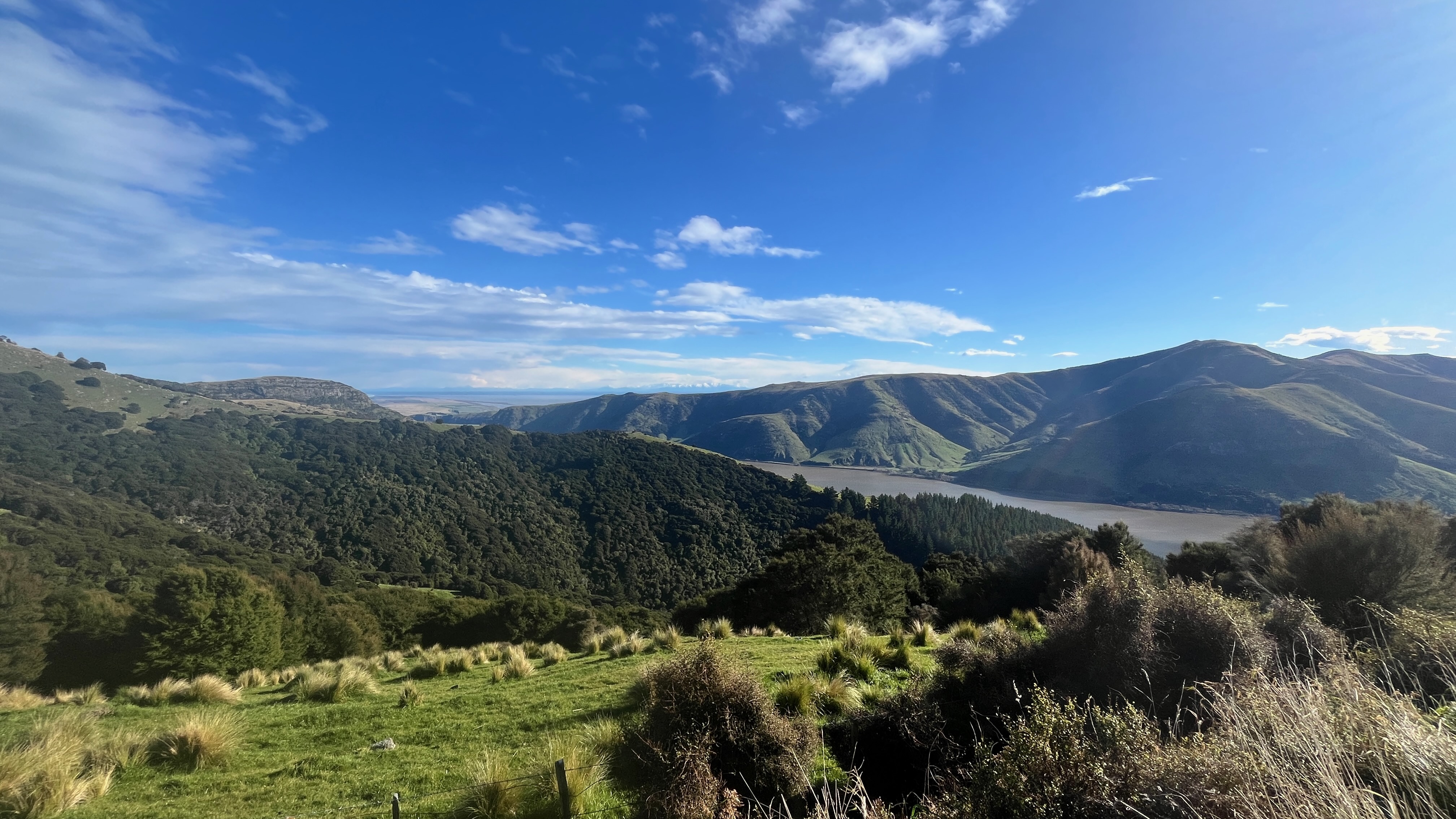


This project examined how land use influences sediment erosion within the Wairewa (Lake Forsyth) catchment by analysing turbidity in streams draining into the lake.
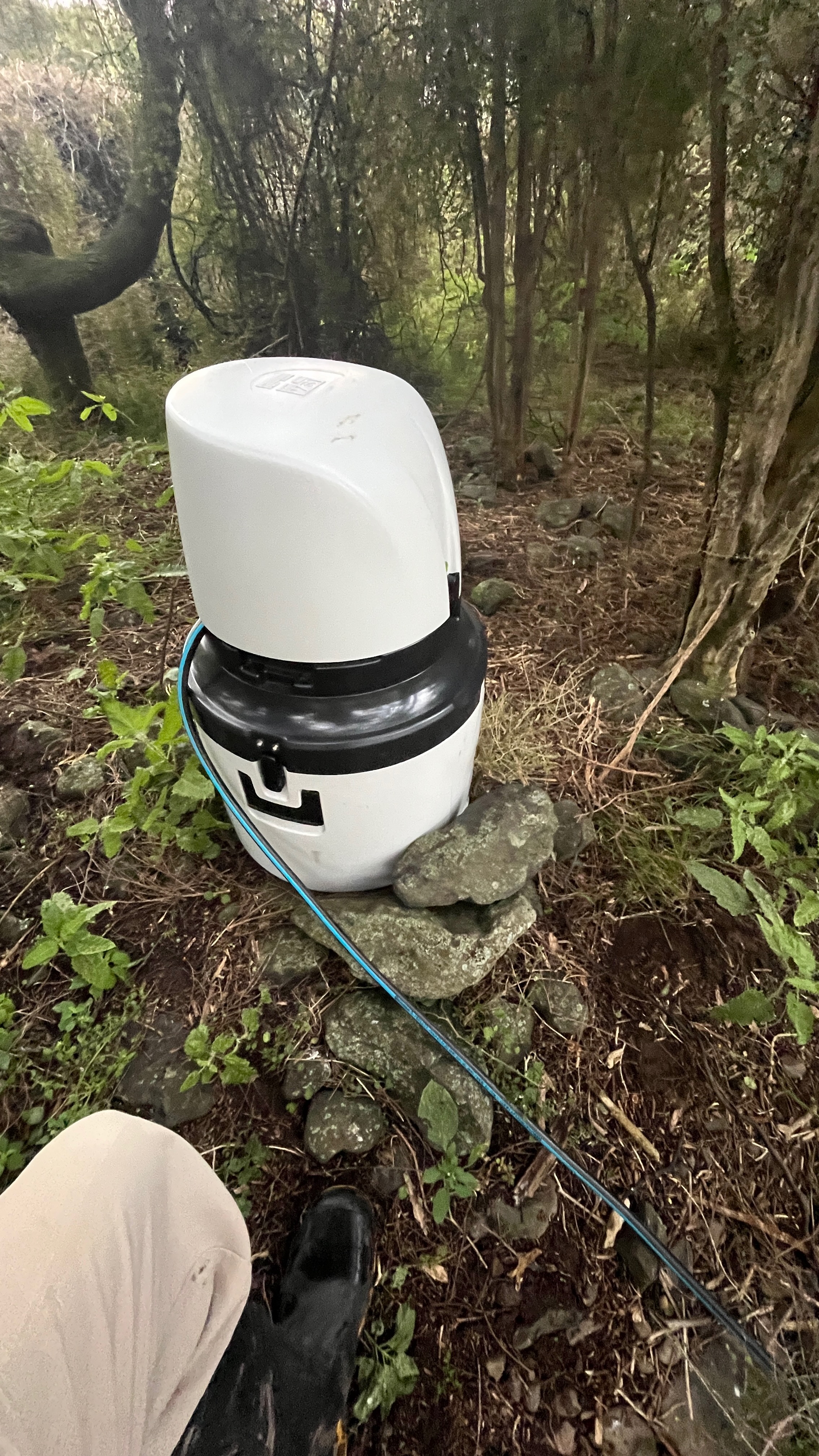
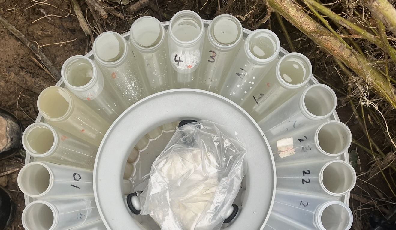
We used turbidity which measures the cloudiness of water caused by suspended sediment. It responds rapidly to rainfall and integrates upstream erosion processes, making it an effective proxy for understanding how much sediment is mobilised and delivered to the lake.

Two major turbidity spikes (100.2 and 127.2 NTU) corresponded closely with large rainfall events, showing rapid sediment mobilisation.
Turbidity exhibited lag effects, gradually returning to baseline over several days after storms.
A third rainfall event did not produce a turbidity response likely due to:
- rainfall occurring after the nightly sampling window,
- rapid flushing in a small catchment,
- or potential sampling/analysis error.
Three unprompted spikes (no rainfall) likely resulted from non-rainfall disturbances such as stock activity, road runoff, culvert inputs, or minor bank collapses.
These results help identify where planting will have the biggest impact—mainly along the exposed, erosion-prone channels in Catons Bay where turbidity spikes were highest. Targeted riparian planting in these areas would stabilise banks and reduce sediment entering Te Roto o Wairewa. This is important for Ngāi Tahu because sediment affects lake health, mahinga kai, and the protection of culturally significant species like tuna.
Wildfire Regeneration

Coastal Storm Impact Awareness Poster and Executive Summary

Environmental Policy Analysis
Waterways Video Interview
